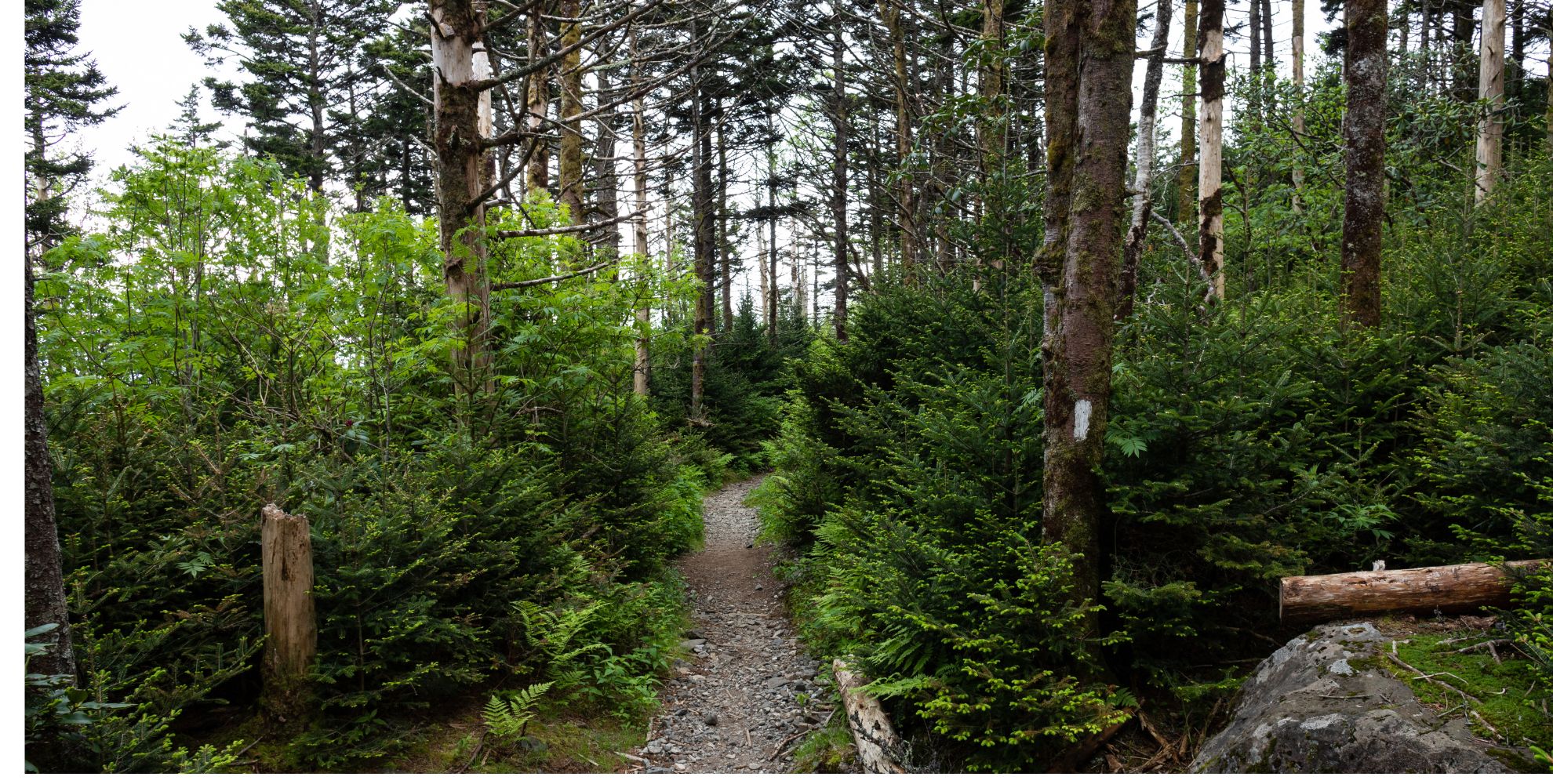
Graveyard Fields – Blueridge Parkway
Graveyard Fields is a very popular hiking trail on the Blue Ridge Parkway (Milepost 418.8) south of Asheville. The Yellowstone Prong is the water source for two waterfalls in a mile- high valley filled with wildflowers and surrounded by the 6,000-ft. peaks of the Blue Ridge Mountains. The area got its name years ago from the tree stumps that looked like gravestones in a graveyard setting. The trees were toppled by a huge wind several hundred years ago. Then in 1925, an intense fire burned the recently logged area, and the forest has been slow in recovering since. It’s one of the few hiking places along the Parkway with restrooms! Take a short hike to a beautiful waterfall or a much-longer 3.5- mile loop through the meadow to a second waterfall. On hot summer days, Lower Falls is a popular swimming hole for splashing around in the cool mountain water. The rocks are slick and there are no lifeguards on duty. So be careful!
Google Directions: From Balsam to Graveyard Fields Do not rely on GPS! Simply drive the Blue Ridge Parkway south from Asheville to Milepost 418.8, about 37 miles southwest of downtown. Heads up: this section of the Parkway is often closed in the winter for ice and snow.
Craggy Gardens – Blueridge Parkway
A short drive (20 miles) from downtown Asheville takes you up, up, up on the Blue Ridge Parkway to mile-high Craggy Gardens. As you approach the area, you will first see a sign for the Craggy Picnic Area to the left. It’s a short drive up the mountain to many picnic tables and a gorgeous hike across the bald. Continue straight on the Parkway a few more miles to reach the Visitor Center for east and west panoramic views. Enjoy the crisp air, summer rhododendron, and super scenic trails.
Three sections to visit. No GPS addresses, so watch for mileposts along the Blueridge Parkway: Milepost 367.6, Craggy Gardens Picnic Ground Craggy Gardens Trail to Craggy Flats, open late May-October. It’s a 1.5-mile round-trip hike to the top!
Milepost 364.4, Craggy Gardens Visitor Center – open late May-October Milepost 364.1, Hike to panoramic views from Craggy Pinnacle
When do rhododendrons bloom? Usually in early to mid-June, the pink and purple blooms of Catawba rhododendron peak. The best place to see these natural gardens is a short (1/3 of a mile) hike from the Visitor Center parking area via Craggy Gardens Trail.
Black Balsam Knob – Blueridge Parkway
From the Blue Ridge Parkway, look for the “Black Balsam” sign near milepost 420, just south of Graveyard Fields and north of Devil’s Courthouse. For the 5-mile loop, drive about 7/10 of a mile down the road and look for the trail on the right. Continue another half mile for restrooms and other trails. This section of the Parkway is often closed in the winter for ice and snow. See Parkway closure updates.
Sam Knob – Blueridge Parkway
Driving Directions & Information: Follow directions the same as Black Balsam Knob and drive to the parking lot at the end. You will find a bathroom, and the trail to Sam’s Knob starts on the RIGHT-hand side of the bathrooms. About 1.1 miles in you will see a sign to either turn right to summit Sams Knob, or turn left to wander in between Sam’s knob and little Sam’s knob. You will arrive at a creek crossing, turn right and head to Wild Cat Falls. This trail is a loop and once you arrive at the Flat Laural Parking lot, either turn back the same way or take the loop which will be Mountain to Sea Trail to get back to the 1st creek crossing. Take at least 2 liters of water for this hike. Lots of rocks and tree stumps to watch out for!
Soco Falls – Maggie Valley, NC
Soco Falls is a beautiful, double waterfall on the edge of the Cherokee Indian Reservation, located between the towns of Maggie Valley (5.5 miles) and Cherokee (10 miles). Enjoy it from a platform via a short walk from US Highway 19, just 1.5 miles south of the Blue Ridge Parkway (at Soco Gap at Milepost 455.7). If you are driving from Maggie Valley, go
1.5 miles past the Blue Ridge Parkway crossing. Before you reach the waterfall, there is a small blue “Soco Falls 1/2-mile ahead” sign (but it’s only about 1/3-mile ahead). Look for the small roadside parking area on the left. It is easily missed since there is just one tiny sign. You can hear the falls from the roadside parking. The trail starts at the break in the guard rail.
Max Patch – 1-hour drive from Balsam
Hike a section of the famous Appalachian National Scenic Trail (or A.T.) on top of Max Patch Mountain near Hot Springs. This 4,600-ft. bald mountain was cleared and used as pasture in the 1800s. Today, it’s a 350-acre tract of open land on a high knob with 360- degree views with amazing sunsets. To reach the easy loop that crosses the summit, follow the blue blaze trail to the left or right for about a half-mile. 1.7 mile round trip. Hot Springs is about 20 miles north of Max Patch. For more information www.romanticasheville.com/max-patch